
Where Professional Expertise Meets Reality Capture.
FDC Reality is the advanced technology extension of Florida Design Consultants, Inc. — combining more than 30 years of surveying and civil engineering expertise with LiDAR, drone technology, and immersive digital visualization.
OUR STORY
Transforming Complex Site Conditions Into Clear Project Intelligence
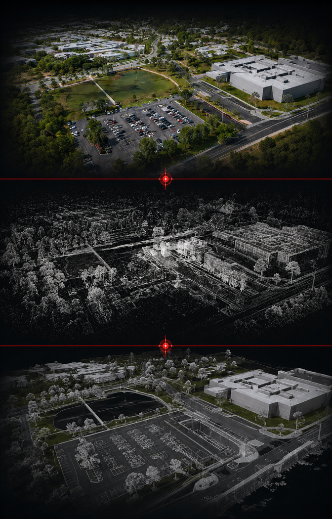
FDC Reality is a forward-thinking reality-capture practice founded on a genuine interest in emerging LiDAR, drone, and immersive visualization technologies. We translate complex site conditions into clear, accurate, and actionable project intelligence that supports better planning, design, construction, documentation, and long-term asset management.
Backed by the professional foundation of Florida Design Consultants, Inc., FDC Reality brings more than 30 years of surveying and civil engineering experience to every engagement. Our work is informed by the practical knowledge of licensed surveyors, civil engineers, and FAA-certified remote pilots—not approached solely from the perspective of a technology vendor.
This professional oversight helps ensure the information we collect is technically sound, appropriately applied, and structured for real-world use.
Your projects . Your reality .
Let us make them an FDC Reality
OUR MISSION
Making Advanced Project Information Easier to Understand and Use
FDC Reality is a forward-thinking reality-capture practice founded on a genuine interest in emerging LiDAR, drone, and immersive visualization technologies. We translate complex site conditions into clear, accurate, and actionable project intelligence that supports better planning, design, construction, documentation, and long-term asset management.
Backed by the professional foundation of Florida Design Consultants, Inc., FDC Reality brings more than 30 years of surveying and civil engineering experience to every engagement. Our work is informed by the practical knowledge of licensed surveyors, civil engineers, and FAA-certified remote pilots—not approached solely from the perspective of a technology vendor.
This professional oversight helps ensure the information we collect is technically sound, appropriately applied, and structured for real-world use.
ACCURATE
RELIABLE
ACTIONABLE
ACCURATE
RELIABLE
ACTIONABLE
OUR FOUNDATION
Built on 30+ Years of Surveying and Engineering Excellence.
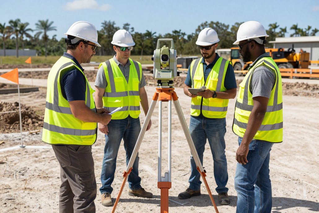
FDC Reality is a direct extension of Florida Design Consultants, Inc. — a licensed surveying and civil engineering firm with more than 30 years of experience serving Florida's development, infrastructure, and public-sector markets. This relationship means FDC Reality clients benefit from institutional professional knowledge that a standalone technology vendor simply cannot provide.
- In-house Professional Surveyors and Engineers
- Survey-grade horizontal and vertical site control
- FAA-Licensed drone pilots
- Professional review and project support on every engagement
- Customized deliverables matched to project and client standards
- Fast model availability — no lengthy third-party processing delays
- No monthly licensing or storage fees
This professional backing distinguishes FDC Reality from outsourced or purely technology-focused providers. Every deliverable is reviewed and supported by licensed professionals — ensuring accuracy, accountability, and confidence at every stage of your project.
Credentials, Licensing, and Coverage
FDC Reality operates with the professional licensing, insurance, and FAA credentials required for reliable, compliant, and fully accountable reality-capture services across Florida.
FAA-Licensed Pilots
All drone operations are overseen and conducted by in-house FAA-licensed pilots — ensuring legal, safe, and professional aerial capture.
Licensed Surveyors & Engineers
FDC Reality is backed by the licensed professional surveyors and civil engineers of Florida Design Consultants, Inc.
Statewide Florida Service
FDC Reality serves clients across the entire state of Florida — from large-scale development projects to municipal and utility engagements.
Fully Insured
All operations are conducted with appropriate professional liability and aviation insurance coverage for client and project protection.
OUR TEAM
The Professionals Behind FDC Reality.
FDC Reality brings together experienced surveying, engineering, aviation, and technology professionals committed to delivering accurate data, immersive visualization, and practical project solutions.
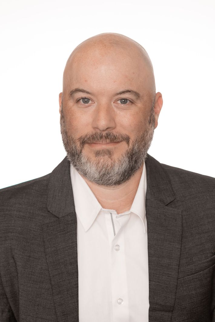
Brian Drinkwater
Director of FDC Reality
Brian brings nearly 30 years of surveying and engineering experience to FDC Reality. He established FDC's drone program and led the adoption of photogrammetry, LiDAR, 3D modeling, and immersive visualization technologies that ultimately shaped FDC Reality. He is also an FAA-certified Private Pilot and Remote Pilot.
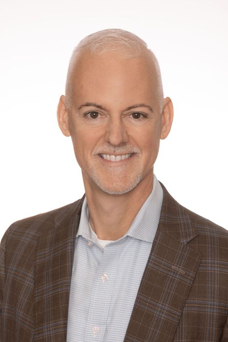
Edwin Rogers, P.E.
President
Ed brings over 31 years of professional engineering consulting expertise for private and public clients to Florida Design Consultants. He specializes in managing the critical processes of planning, plan production, and permitting for complex, mixed-use master-planned communities. Ed's deep experience gives him an understanding of client needs as well as the needs and requirements of local, state, and regional regulatory authorities that allow for a proactive approach to driving project success. Ed believes that our firm's success comes from placing our client's success first.
M.S. Civil Engineering, University of South Florida
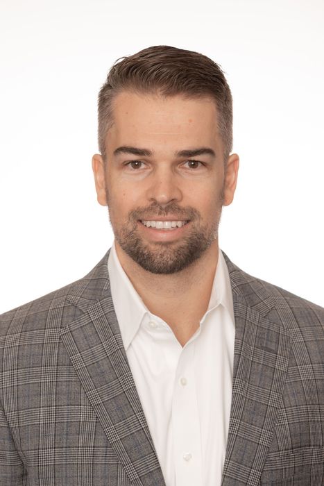
Jared Patenaude, P.S.M.
Executive Vice President & Director of Survey
Jared has more than 17 years of surveying experience and oversees the firm's surveying operations and quality control. His expertise includes boundary, topographic, hydrographic, control, right-of-way, and other specialized surveys for private clients and government agencies throughout Florida.
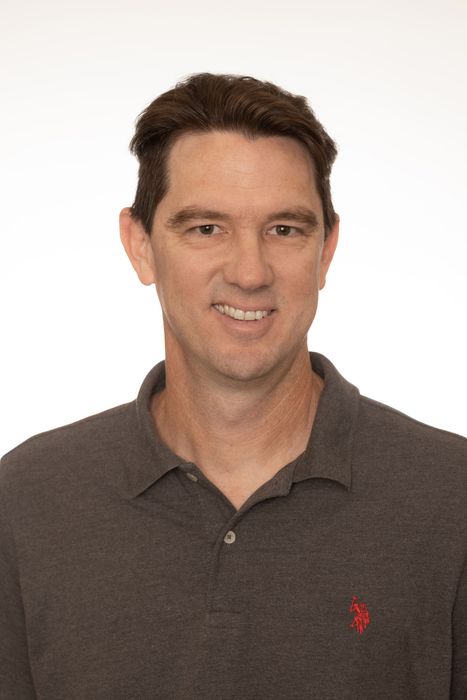
Matt Barksdale
Lead Pilot & Reality Specialist
Matt is the Lead Pilot and Reality Specialist for the firm and brings more than 20 years of experience in the surveying profession, including more than 13 years with Florida Design Consultants, Inc. His career is built on a strong field foundation, including a decade as a Field Crew Chief specializing in boundary and topographic surveying, alongside extensive hands-on knowledge of technologies from conventional total stations to modern GPS/GNSS systems. Matt is responsible for expanding the firm's technical experience into drone-based data collection, photogrammetry, and emerging survey workflows after earning his FAA Part 107 Remote Pilot Certificate for Unmanned Aircraft Systems in 2020. His office-based role combines his deep field experience with modern survey production, mapping, and technology-driven solutions. Matt is currently pursuing an Associate of Arts degree and plans to continue his education through the University of Florida's Geomatics program to earn his Bachelor of Science degree and become a licensed Professional Surveyor and Mapper in the State of Florida.
What our customers have to say...
Testimonials
Michelle Guerrier
Entitlement Analyst
DR Horton, Tampa Division

“FDC Reality Models have been an instrumental tool in D.R. Horton’s development process. The aerials, survey and grading features specifically have elevated our lot and land inspections.”
Billy Hierlihy
Land Development Manager
Mattamy Homes USA

"Working with FDC Reality has been a great experience. Their team is responsive, innovative, and willing to take an idea from concept to reality, even when it's something they haven't tackled before. They approach every challenge with a solutions-oriented mindset and a commitment to delivering results."
GET STARTED
Turn Your Project Into an FDC Reality.
Let's discuss the reality-capture solution your team needs. Whether you're managing a large development, documenting critical infrastructure, or exploring immersive visualization — FDC Reality brings professional expertise and advanced technology to your project.