
INDUSTRIES WE SERVE
Real Solutions for Real Projects Across Florida
FDC Reality serves developers, builders, contractors, utilities, municipalities, and property professionals across the state — delivering survey-grade reality capture, interactive visualization, and actionable documentation tailored to each industry's specific challenges.
DEVELOPERS & LANDOWNERS
Know What You Have Before You Build
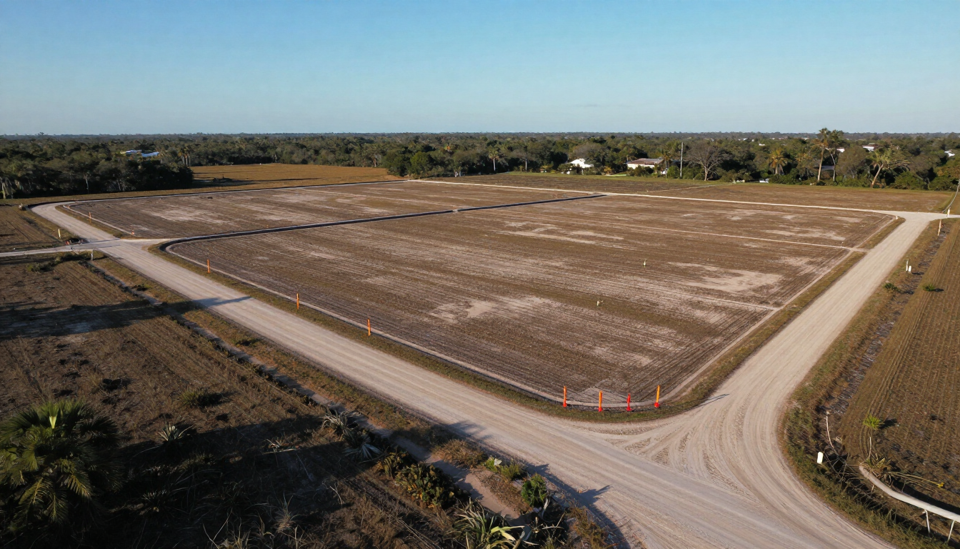
Developers often begin projects with incomplete or outdated site information — leading to costly design revisions, grading surprises, and missed regulatory details.
Recommended Solutions: Reality Model for phase-by-phase site monitoring, quantity tracking, and grade documentation. Reality Exhibit for communicating project vision to stakeholders, municipalities, and prospective buyers.
What You Gain: Survey-grade site control from day one. Ongoing aerial documentation of every development phase. Cut/fill and dirt-quantity reporting. Visual records that support entitlement, financing, and sales presentations.
HOME BUILDERS
Document Every Lot. Every Phase. Every Grade.
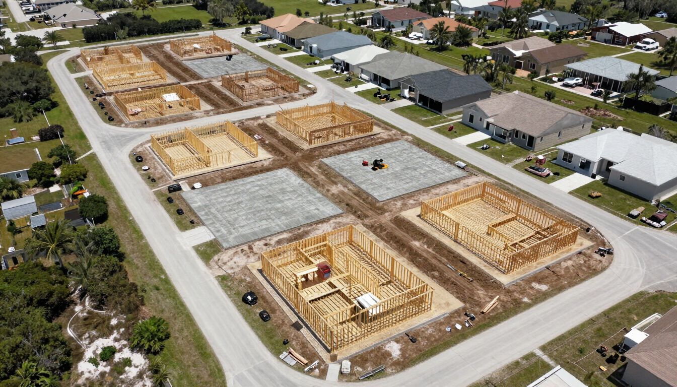
Home builders manage dozens or hundreds of lots simultaneously — tracking pad grades, cut/fill quantities, and construction progress across a fast-moving site demands more than periodic site visits.
Recommended Solution: Reality Model — providing flight-by-flight aerial documentation, lot grade viewer, pad as-built reporting, and a site-history timeline that keeps every stakeholder current.
What You Gain: Phase-by-phase site records. Accurate grade verification. Early identification of drainage or grading issues. Visual documentation supporting punch-list and close-out processes.
CONTRACTORS & CONSTRUCTION TEAMS
Progress Documentation That Holds Up to Scrutiny
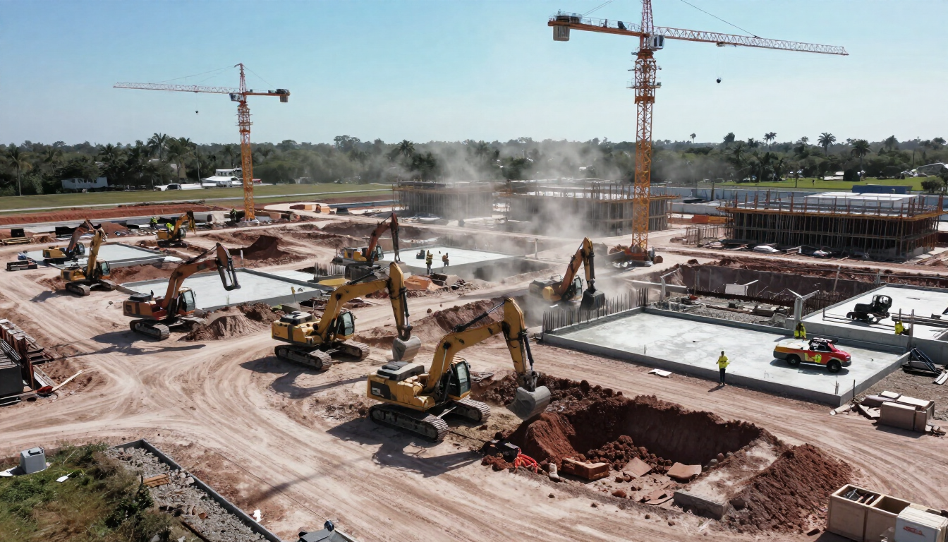
Contractors need accurate, defensible records of site conditions, work progress, and as-built conditions — for owner reporting, dispute resolution, subcontractor coordination, and final inspections.
Recommended Solutions: Reality Model for continuous aerial site documentation, cross-section slicing, and cut/fill verification. Reality Report for structured field condition documentation of infrastructure and assets.
What You Gain: Time-stamped aerial records at each project phase. Quantity verification for earthwork and grading. As-built documentation supporting owner acceptance and regulatory closeout.
HOAs & CDDs
Communicate Community Assets Clearly and Professionally
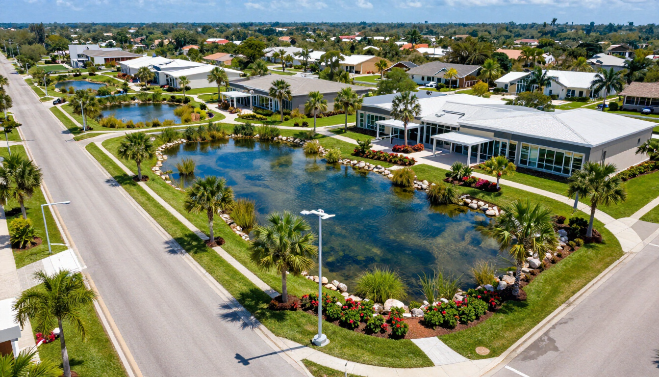
HOAs and CDDs are responsible for documenting, maintaining, and communicating the condition of shared infrastructure — stormwater systems, roads, common areas, and utilities — to boards, residents, and regulators.
Recommended Solutions: Reality Report for organized, image-rich documentation of community assets and infrastructure condition. Reality Exhibit for creating accessible, interactive presentations of maintenance plans, capital improvement projects, and community updates.
What You Gain: Organized, searchable asset records. Professional documentation for board meetings and regulatory submittals. Clear visual communication that builds community trust and supports maintenance planning.
MUNICIPALITIES & GOVERNMENT AGENCIES
Present Projects Publicly. Document Infrastructure Professionally.
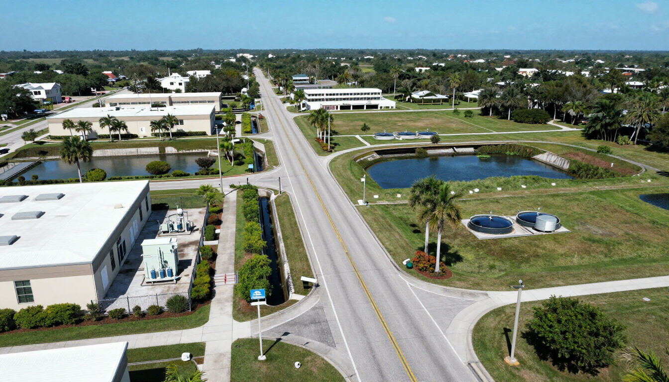
Government agencies face the dual challenge of communicating complex projects to the public in an accessible way while maintaining accurate, defensible records of public infrastructure and assets.
Recommended Solutions: Reality Exhibit for public meetings, stakeholder presentations, and project communication. Reality Model for aerial documentation of public construction and infrastructure projects. Reality Report for structured condition documentation of municipal assets.
What You Gain: Professional, accessible public-facing presentations. Defensible aerial and field documentation of infrastructure conditions. Clear visual records supporting grant applications, capital improvement planning, and regulatory compliance.
ELECTRIC UTILITIES & TELECOMMUNICATIONS
Capture Existing Infrastructure. Deliver Design-Ready Data.
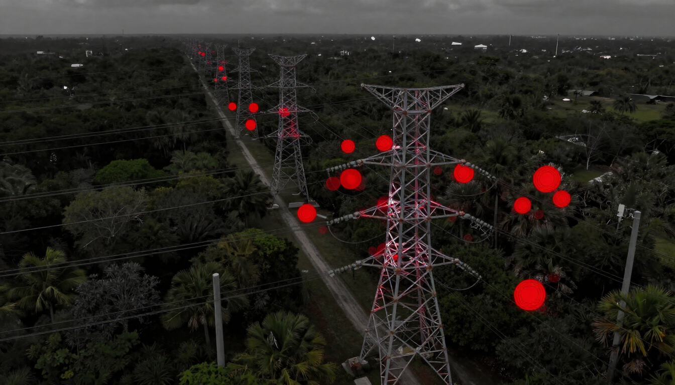
Utility and telecommunications providers need accurate existing-condition data for infrastructure corridors — pole locations, line configurations, and facility details — in formats compatible with modern design and asset-management workflows.
Recommended Solution: Reality PLS-CAD — LiDAR-based capture of existing utility infrastructure, delivered in client-standard formats and customized to support design, planning, and asset management. Professional in-house review by licensed surveyors and engineers.
What You Gain: Accurate existing-condition capture without field-intensive conventional survey methods. Customized deliverables matched to your design standards. In-house professional review ensuring data quality and usability.
MECHANICAL & INDUSTRIAL FACILITIES
Document Asset Conditions Without the Site Visit.
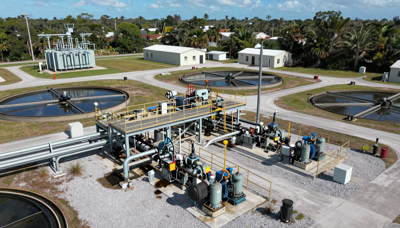
Mechanical and industrial operators need detailed, organized records of equipment, structures, and facility conditions to support maintenance planning, remote review, regulatory documentation, and employee training.
Recommended Solution: Reality Reports provide structured drone and 360° documentation of facility assets, including lift stations, subsurface structures, towers, bridges, and mechanical equipment. Reality Scans create photorealistic 3D recreations of equipment and working environments, preserving current conditions in an immersive, easy-to-explore format.
Interactive Documentation: Reality Scans can include embedded links to operating instructions, maintenance records, photographs, videos, training materials, and other important resources. This allows clients to assess issues remotely and gives new employees direct access to essential equipment information.
What You Gain: Comprehensive visual records, easier remote collaboration, organized maintenance documentation, improved issue assessment, and an interactive resource for employee onboarding and training.
REALTORS & PROPERTY MANAGERS
Let Buyers and Tenants Experience a Property Remotely.
Real estate professionals need compelling, accessible ways to present properties to remote buyers, out-of-state investors, and prospective tenants — beyond static photography and floor plans.
Recommended Solution: Reality Scans — hyperrealistic, freely navigable digital twins of homes, buildings, and properties, enabling remote exploration with fluid 3D navigation and high-resolution visualization.
What You Gain: Immersive property presentations accessible from any device, compelling marketing assets for listings and proposals, and detailed digital records that support property transactions, management, and documentation. Reality Scans are compatible with MLS and Zillow applications, helping real estate professionals deliver a more interactive experience to prospective buyers and tenants.
ARCHITECTS & INTERIOR DESIGNERS
Understand What Exists. Visualize What's Possible.
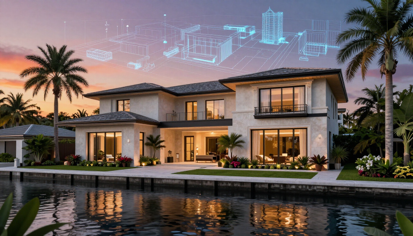
Architects and interior designers need accurate documentation of existing conditions before design begins, along with compelling visualization tools that help clients understand proposed changes—especially for renovation and adaptive-reuse projects.
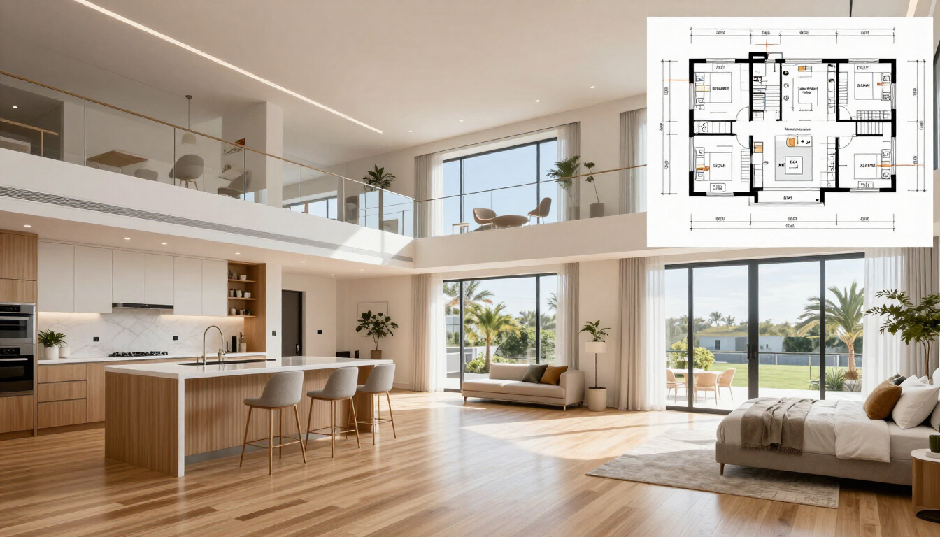
Recommended Solutions: Reality Scans create immersive, measurable 3D documentation of interior and exterior environments. Measurable 2D floor plans can be generated from a completed scan, while supported measurement tools assist with interior design, space planning, and existing-condition documentation. Reality Exhibits provide interactive project presentations for client approvals, stakeholder reviews, and design proposals.
AI-Assisted Visualization: AI tools can be used to develop conceptual redesigns of a scanned environment, helping clients visualize potential layouts, finishes, furnishings, and other design ideas before moving forward.
What You Gain: Accurate, navigable records of existing conditions, practical measurements and floor plans, compelling client-facing presentations, and conceptual visualizations that reduce miscommunication and support more informed design decisions.
INSURANCE, HISTORICAL & CULTURAL ORGANIZATIONS
Preserve What Matters. Document It With Precision.
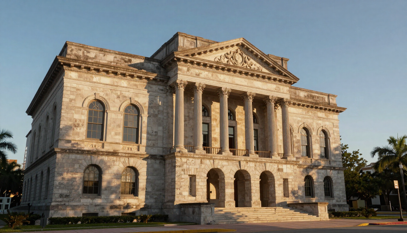
Insurance professionals, preservation organizations, and cultural institutions require thorough, high-fidelity documentation of properties, structures, and collections — for claims support, historical record, conservation planning, and public engagement.
Recommended Solutions: Reality Scans for hyperrealistic digital-twin documentation of buildings, interiors, and cultural environments, enabling remote access and preservation-quality records. Reality Report for structured drone and 360° condition documentation of insured properties and historic structures.
What You Gain: High-resolution digital records of existing conditions before and after events. Remotely accessible documentation for claims review, conservation planning, and public engagement. Immersive exhibits enabling virtual access to historically significant spaces.
NOT SURE WHICH SOLUTION FITS?
Let's Find the Right Fit for Your Project.
Every project is different. Our team will help you identify the right combination of reality-capture services for your specific site, industry, and deliverable goals.