
REALITY SURVEY
Advanced Reality Capture. Professionally Delivered Survey Solutions.
FDC Reality combines LiDAR, drone technology, specialized data collection, and professional surveying expertise to produce accurate, project-ready information for planning, design, utilities, infrastructure, and water-based environments.
WHAT IS REALITY SURVEY?
One Flexible Solution for Specialized Surveying and Reality-Capture Needs.
Reality Survey combines advanced data collection with professional surveying expertise to create accurate, practical deliverables tailored to each project.
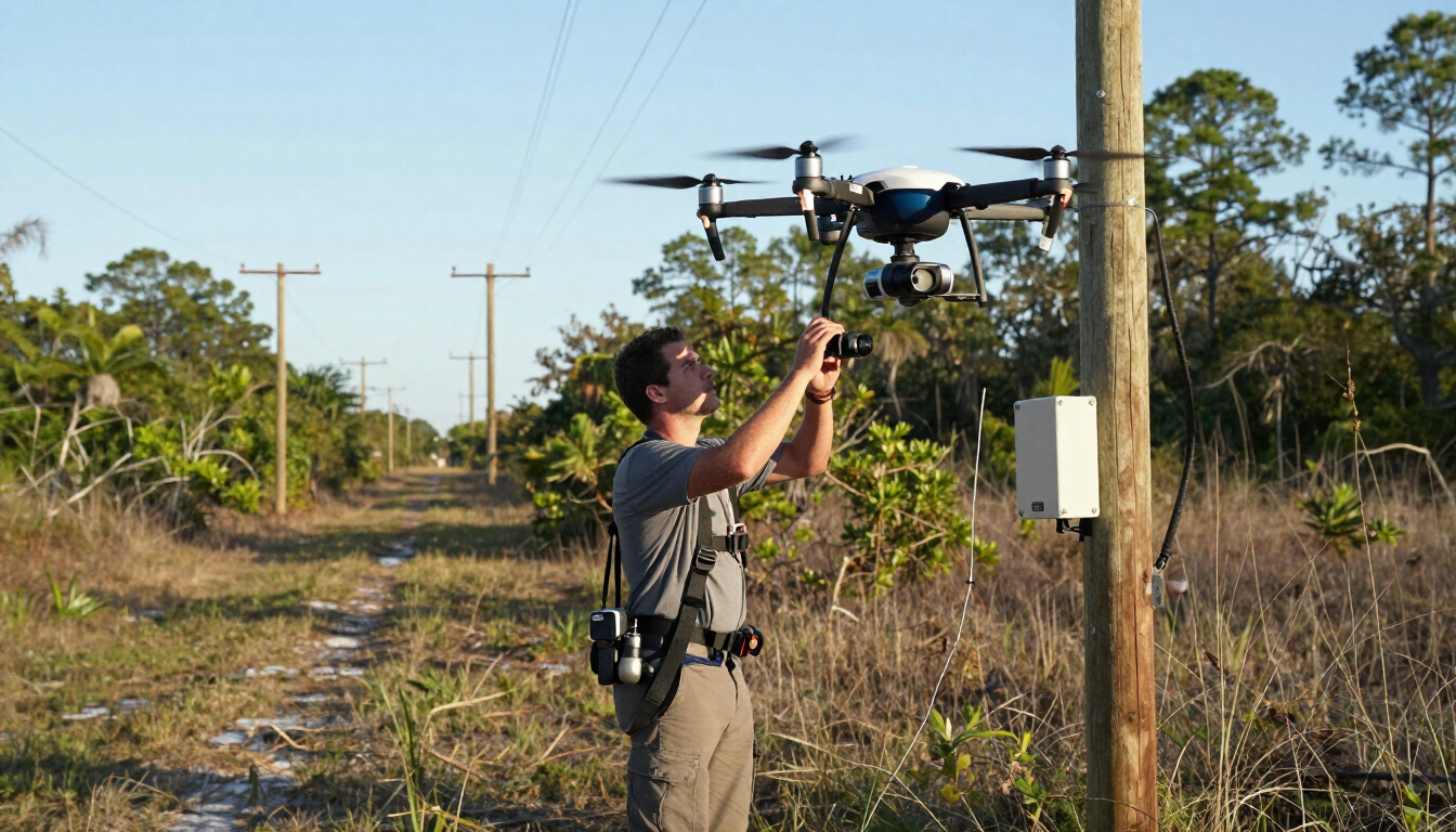
Our services include LiDAR-based CAD and LandXML deliverables, PLS-CAD utility surveys, and drone-based bathymetric surveys. Depending on the project requirements, qualifying deliverables can be reviewed, signed, and sealed by a licensed professional surveyor.
Every project is customized around the site, intended application, accuracy requirements, professional standards, and the client’s existing workflow.
CAPABILITIES
Comprehensive Reality Survey Capabilities
LiDAR-Based CAD Deliverables
Convert high-resolution LiDAR data into organized CAD information supporting existing-condition documentation, engineering, planning, design, and infrastructure workflows.
LandXML Deliverables
Provide structured surface and terrain data in LandXML format for compatible civil-design, grading, site-development, and engineering applications.
PLS-CAD Utility Surveys
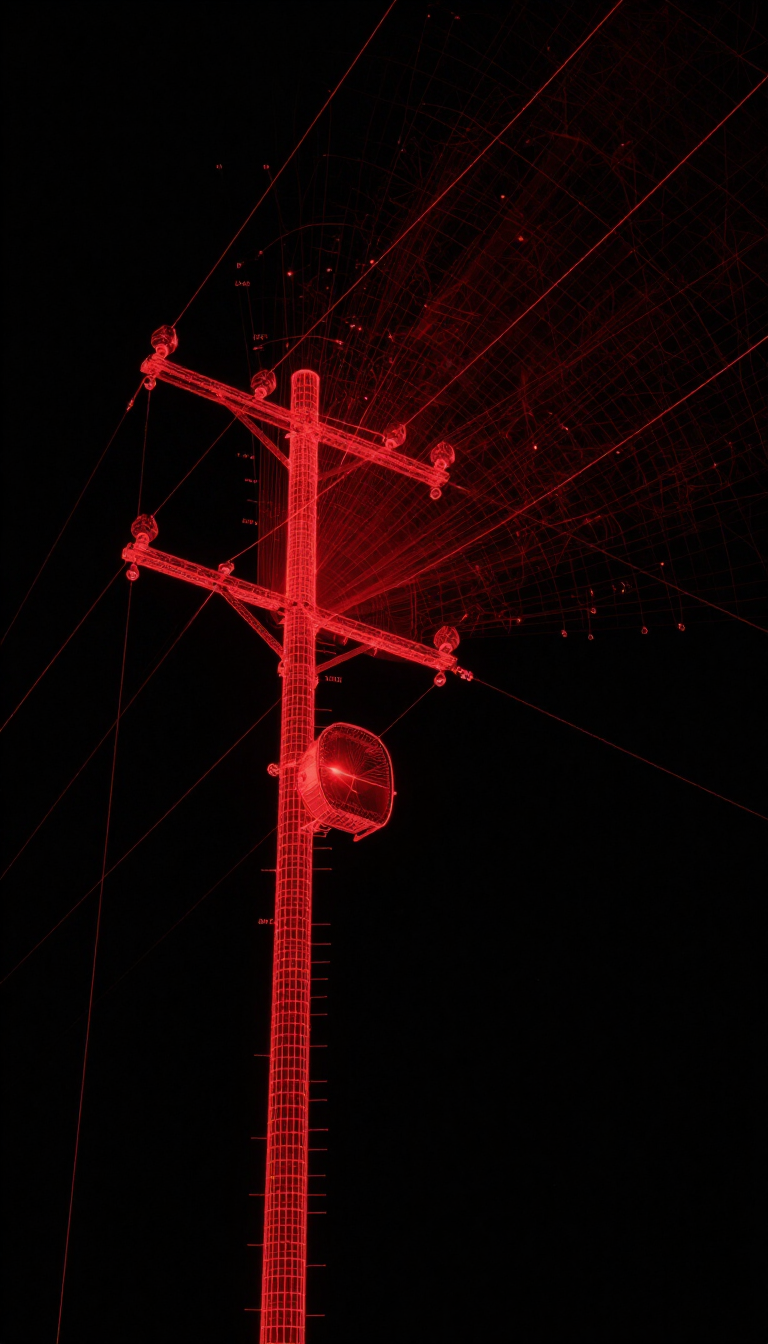
Capture utility corridors, poles, lines, terrain, attachment details, and surrounding conditions to support utility documentation and electrical-design workflows.
Utility Corridor Documentation
Aerial and ground-based LiDAR capture of overhead and underground utility corridors, providing current, field-verified corridor geometry.
Existing-Condition Capture
Accurate documentation of existing infrastructure conditions for planning, permitting, and design reference.
Pole and Line Documentation
Precise pole location, height, and line attachment documentation to support structural analysis and load-planning workflows.
Drone-Based Bathymetric Surveys
Use drone-enabled technology to document underwater terrain, shorelines, ponds, canals, stormwater systems, and other water-based environments where project conditions permit.
Design-Support Data
Customized data deliverables formatted to support civil, electrical, and utility teams working within established project standards.
Professional Surveying Oversight
Qualifying deliverables may be reviewed, signed, and sealed by a licensed professional surveyor, depending on the project scope and intended application.
COMPATIBLE DELIVERY
Project-Ready Deliverables Built Around Your Needs
Reality Survey deliverables are configured around each project’s intended use, accuracy requirements, professional standards, software environment, and client workflow. FDC Reality works with your team during project scoping to identify the appropriate capture method, data structure, formats, and level of professional certification.
Format and Workflow Compatibility
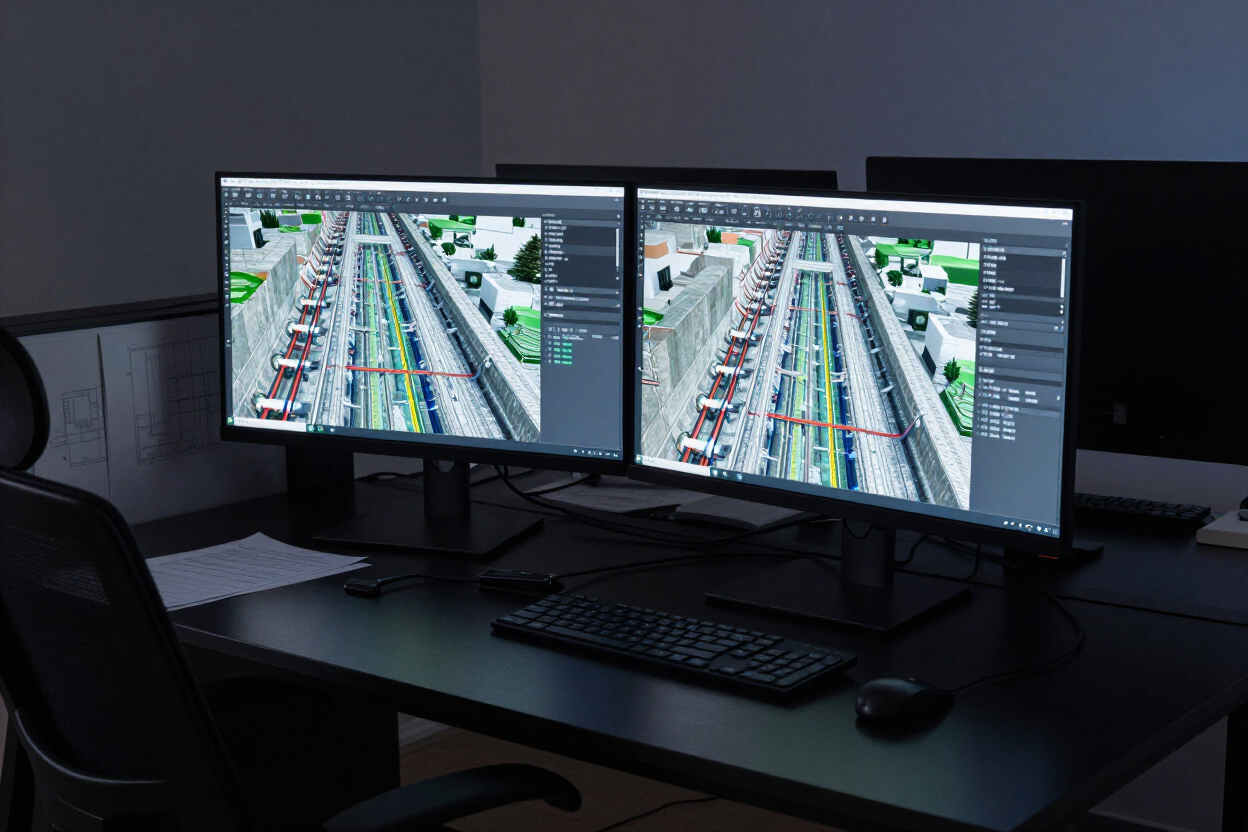
Depending on the project scope and intended application, deliverables may include DWG, DXF, LandXML, PLS-CAD, LAS, LAZ, PDF, and other project-specific formats. Software compatibility and final delivery requirements are confirmed during project scoping.
Client-Standard Customization
Layer naming, symbology, coordinate systems, and deliverable structure are configured to match your internal standards. Customization details are established during the initial technical consultation.
Available formats and professional certifications depend on the project scope and intended application.
WHO IT'S BUILT FOR
Who Benefits From Reality Survey?
Reality Survey is designed for organizations that need accurate, current infrastructure data to support design, planning, and asset-management decisions.
Electric Utilities
Document transmission and distribution infrastructure for design updates, load planning, and regulatory reporting.
Telecommunications Providers
Capture existing pole attachments, line routes, and corridor conditions to support network expansion and make-ready engineering.
Municipal Engineers
Obtain verified existing-condition data for right-of-way, utility, and infrastructure projects within municipal jurisdictions.
Civil Design Firms
Integrate survey-grade LiDAR data into design workflows to reduce field-verification trips and improve as-designed accuracy.
Asset Managers
Build and maintain accurate infrastructure inventories to support maintenance planning, capital budgeting, and condition assessment.
Environmental and Water-Resource Teams
Document shorelines, underwater terrain, ponds, canals, stormwater systems, and other water-based environments using drone-enabled bathymetric methods.
GET STARTED
Let’s Discuss Your Survey Requirements.
Every project has different site conditions, accuracy needs, deliverables, and professional requirements. Speak with FDC Reality about the right combination of technology, surveying expertise, and technical deliverables for your project.