
REALITY REPORT
Capture. Document. Preserve.
Capture, organize, and preserve critical asset information using drone imagery, 360° cameras, and customized reporting.
WHAT IS A REALITY REPORT
Systematic Field Documentation for Critical Infrastructure
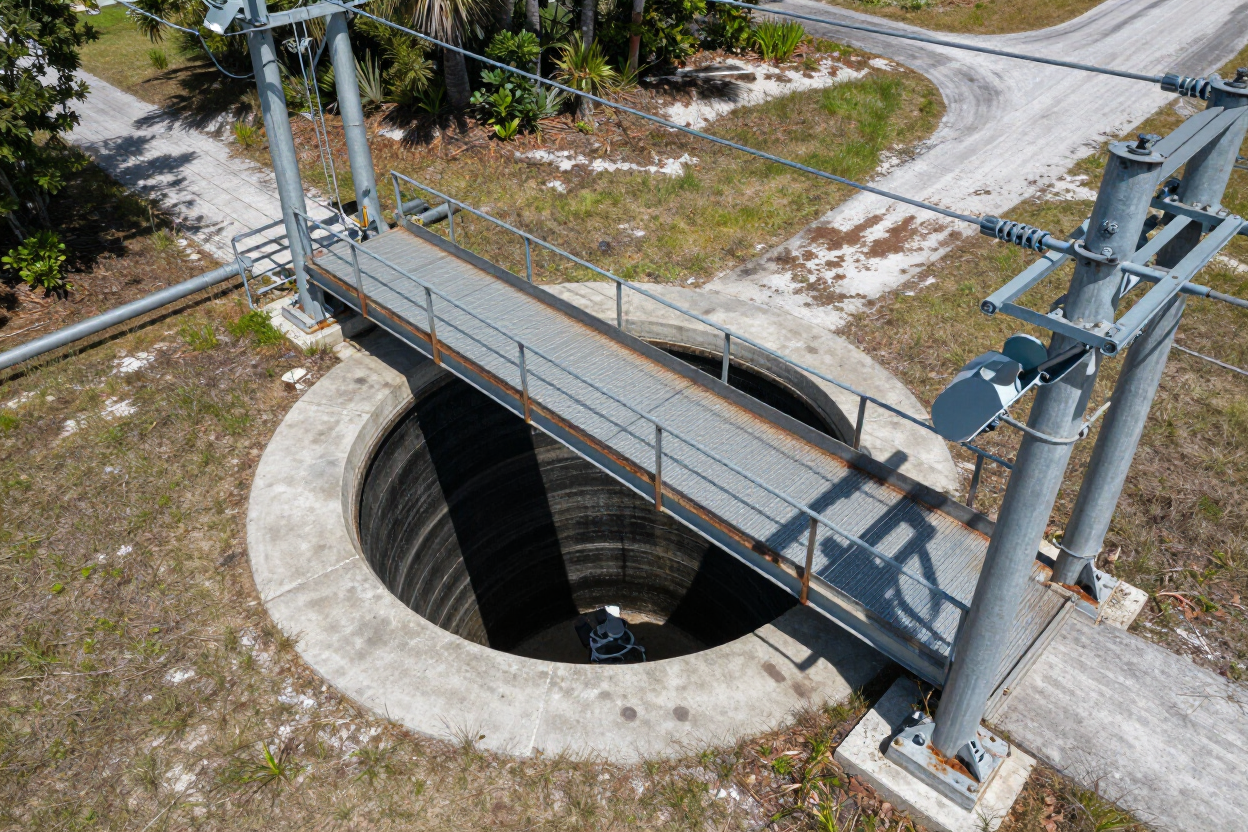
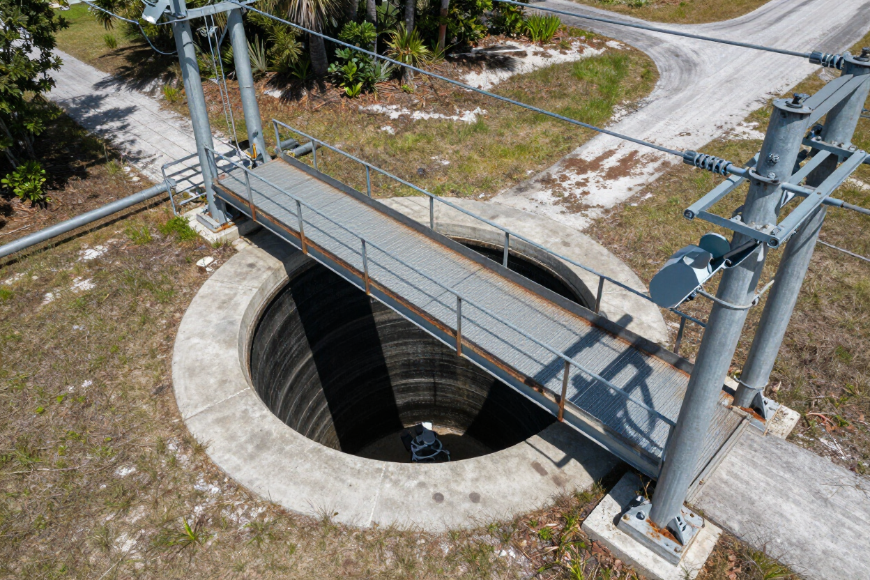
A Reality Report is a structured, drone-and-camera-based documentation deliverable that captures the current condition, location, and relevant data of physical assets — organized and formatted to the client's reporting needs. Designed for infrastructure managers, facility operators, and public-agency staff, not a technical audience.
Reality Reports cover a wide range of asset types, including:
• Lift stations
• Subsurface structures
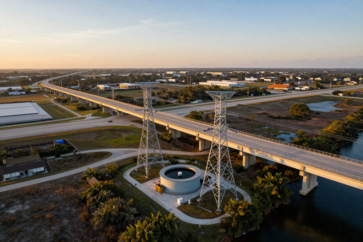
• Bridges
• Towers
• Utility facilities
• Mechanical and industrial facilities
Each Reality Report is fully customized — the format, data fields, and imagery are tailored to the client's operational and documentation requirements. Deliverables are reviewed by Florida Design Consultants' professional surveyors and engineers to ensure accuracy and professional quality.
WHAT WE CAPTURE
Every Detail. Every Angle. Every Asset.
Reality Reports compile multiple data types into a single organized deliverable suited to your workflow and documentation standards.
High-Resolution Imagery
Detailed photographs of assets and surrounding conditions, captured at the resolution needed for professional review and reporting.
360° Views
Immersive spherical imagery that documents the full environment around each asset, enabling remote inspection and spatial context.
Drone Footage
Aerial video and still imagery capturing assets from above and at angles inaccessible to ground crews.
Location Information
Precise geographic data tying every captured image and record to a mapped, verifiable site location.
Client-Specified Data
Custom data fields, condition ratings, identification numbers, and operational notes defined by the client's standards.
Condition Documentation
Systematic visual and descriptive records of the current physical state of each asset, supporting maintenance planning and compliance.
WHY REALITY REPORTS MATTER
Better Records. Smarter Decisions.
Reality Reports deliver five operational benefits that infrastructure owners and operators rely on to manage, plan, and communicate around their physical assets.
Better Institutional Records — Replace inconsistent field notes and aging paper records with organized, searchable digital documentation tied to each asset's location and condition.
Easier Remote Review — Give engineers, managers, and stakeholders the ability to inspect assets visually without requiring a site visit.
Improved Maintenance Planning — Use condition documentation and imagery to prioritize repairs, schedule inspections, and allocate resources more effectively.
Clear Stakeholder Communication — Present asset conditions and project status through organized visual reports that are easy to share with boards, agencies, and leadership.
Accessible Documentation — Deliver reports in client-ready formats that can be stored, referenced, and updated as assets and conditions change.
WHO THIS IS FOR
Built for the Organizations That Manage Critical Infrastructure
Reality Reports are designed for organizations responsible for maintaining, documenting, and reporting on physical infrastructure and facilities across Florida.
Electric Utilities and Telecommunications
Document poles, lines, conduits, and equipment with organized imagery and location data to support design, maintenance, and compliance workflows.
Municipalities and Government Agencies
Maintain accurate visual records of public infrastructure — bridges, lift stations, and utility corridors — for regulatory reporting and capital planning.
HOAs and CDDs
Capture common-area assets, drainage infrastructure, and mechanical systems to support maintenance budgets and association governance.
Mechanical and Industrial Facilities
Document complex equipment, facility layouts, and structural conditions to support maintenance cycles and operational continuity.
Infrastructure Managers
Replace outdated field records with organized, georeferenced documentation that supports planning, inspection, and handover workflows.
Contractors and Construction Teams
Capture existing conditions before and during construction to establish accurate as-built records and reduce liability exposure.
SAMPLE DELIVERABLE
See What a Reality Report Looks Like
Each Reality Report is organized and formatted to the client's standards — combining high-resolution imagery, 360° views, drone footage, location data, and client-specified fields into a clear, accessible deliverable.
Explore a sample Reality Report to see how inspection findings, imagery, asset information, and project documentation can be organized into a clear, accessible deliverable.
FDC Reality can demonstrate the format and quality of a Reality Report during a consultation — reach out to schedule a walkthrough of a completed deliverable.
COMMON QUESTIONS
Reality Report FAQ
Find answers to common questions about Reality Report deliverables, supported assets, project coordination, updates, and reporting scope.
What types of assets can be documented in a Reality Report?
Reality Reports can document a wide variety of infrastructure, utility, mechanical, industrial, and facility assets. Examples include lift stations, subsurface structures, bridges, towers, utility facilities, equipment, and other critical assets. Because every project is unique, contact FDC Reality to discuss your specific documentation needs.
What format is the final deliverable?
Each Reality Report is customized around the client’s assets, workflow, and documentation requirements. Deliverables may include a hosted web-based report, PDF documentation, high-resolution imagery, 360° views, drone footage, GPS location data, condition records, and client-specified reporting fields. Contact FDC Reality to determine the most appropriate format for your project.
How is the site visit and capture scheduled?
Every project is unique. FDC Reality coordinates directly with the client to understand the site, asset types, operational requirements, access considerations, and desired deliverables. The capture schedule is then planned to minimize disruption and support the project’s specific needs. Contact FDC Reality to discuss scheduling and next steps.
Can reports be updated after the initial capture?
Yes. FDC Reality can perform follow-up capture sessions and update a Reality Report to document changed conditions, newly added assets, maintenance activity, or other developments. The recommended update schedule will depend on the facility, assets, and intended use of the report. Contact FDC Reality to discuss an appropriate update plan.
Do I need to have a complete asset inventory before starting?
No. A complete pre-existing inventory is not required. FDC Reality can work with your team during project planning to identify the assets, locations, and information that should be documented. Since every project is unique, contact FDC Reality to define the appropriate scope and project-initiation process.
READY TO GET STARTED
Turn Your Infrastructure Into an Organized, Accessible Record.
Let's discuss the assets you need documented, the format that fits your workflow, and how a Reality Report can support your team.
Serving clients across Florida · An Extension of Florida Design Consultants, Inc.