
REALITY-CAPTURE SOLUTIONS
Reality-Capture Solutions Built Around Your Project
Reality capture is the process of collecting precise, measurable data about a physical site — using LiDAR, drones, and advanced imaging — and converting it into accurate digital documentation, models, and visualizations your team can act on. FDC Reality delivers survey-grade reality capture backed by more than 30 years of professional surveying and civil engineering experience.
Five Solutions. One Integrated Reality-Capture Platform.
Each FDC Reality solution is purpose-built for a distinct use case — from survey-grade site models to interactive exhibits, asset documentation, utility design, and immersive digital twins. All five are backed by in-house professional surveyors, engineers, and FAA-licensed pilots.
Reality Model
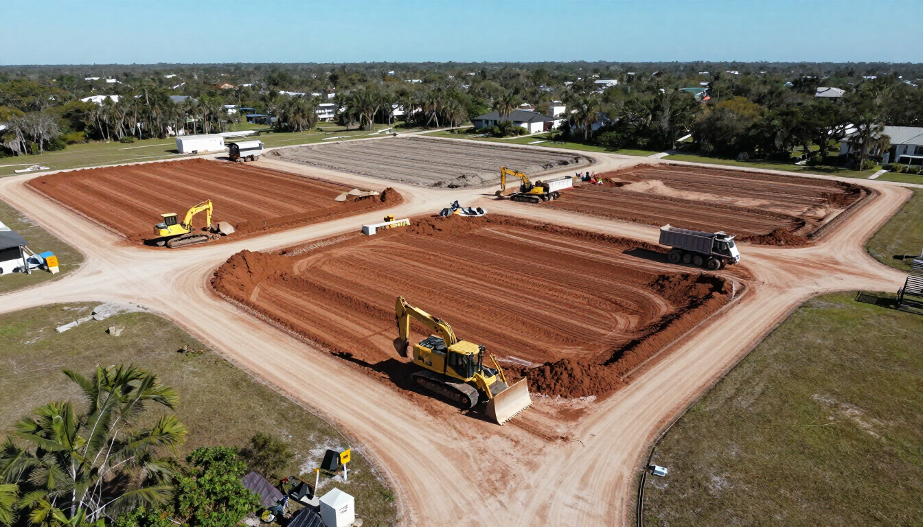
A survey-grade, LiDAR-based site model used to monitor, document, and track every phase of development—from raw land through final construction.
Features
Orthomosaic aerial imagery · Lot Grade Viewer · Timeline and site-history viewer · PDF and CAD plan overlays · Pad as-built reports · Cut/fill and quantity reports · Cross-section slicing · 360° aerial panoramas . Google street view style tours
Reality Exhibit
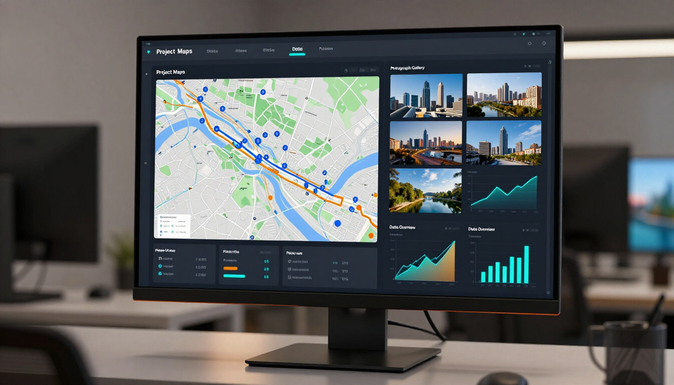
A highly interactive, web-based exhibit enriched with photographs, videos, maps, plans, and customizable project data—all presented in a familiar, shareable, and easy-to-navigate format.
Featutres
Photographs · Videos · Maps · Plans and data · Project narratives · Links and resources · Embeddable or shareable formats
Reality Report
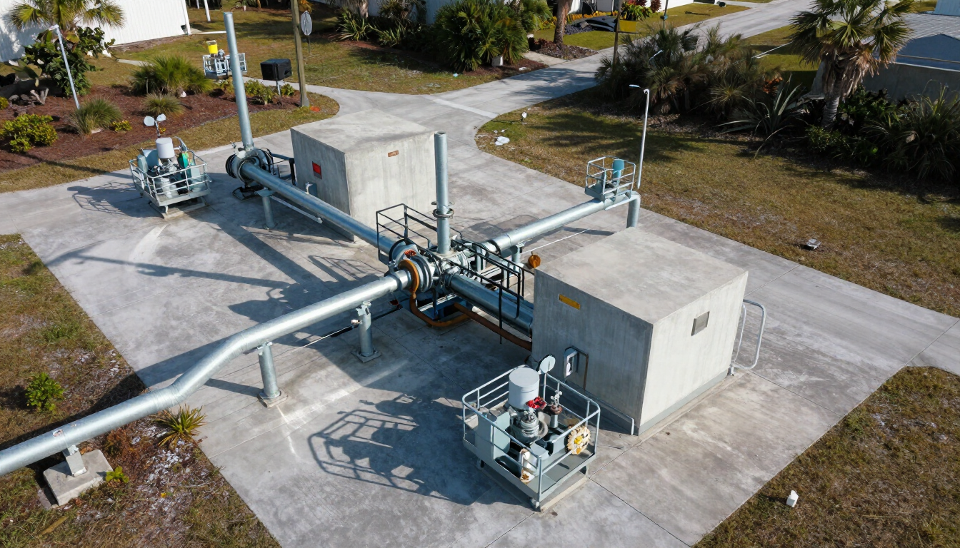
A fully customizable report designed to document assets ranging from subsurface structures and lift stations to bridges, towers, and other critical infrastructure.
Features
High-resolution imagery · 360° views · Drone footage · GPS location data · Condition documentation · Client-specified reporting fields
Reality Scans
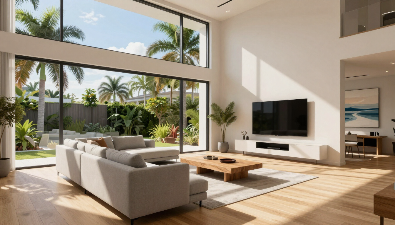
Photorealistic digital twins of complete 3D environments, allowing users to explore homes, buildings, facilities, and sites from virtually anywhere.
Features
Fluid 3D navigation · High-resolution visualization · Embedded information and resources · Measurement and documentation · Virtual-reality compatibility · Remote property and facility exploration
Reality Survey
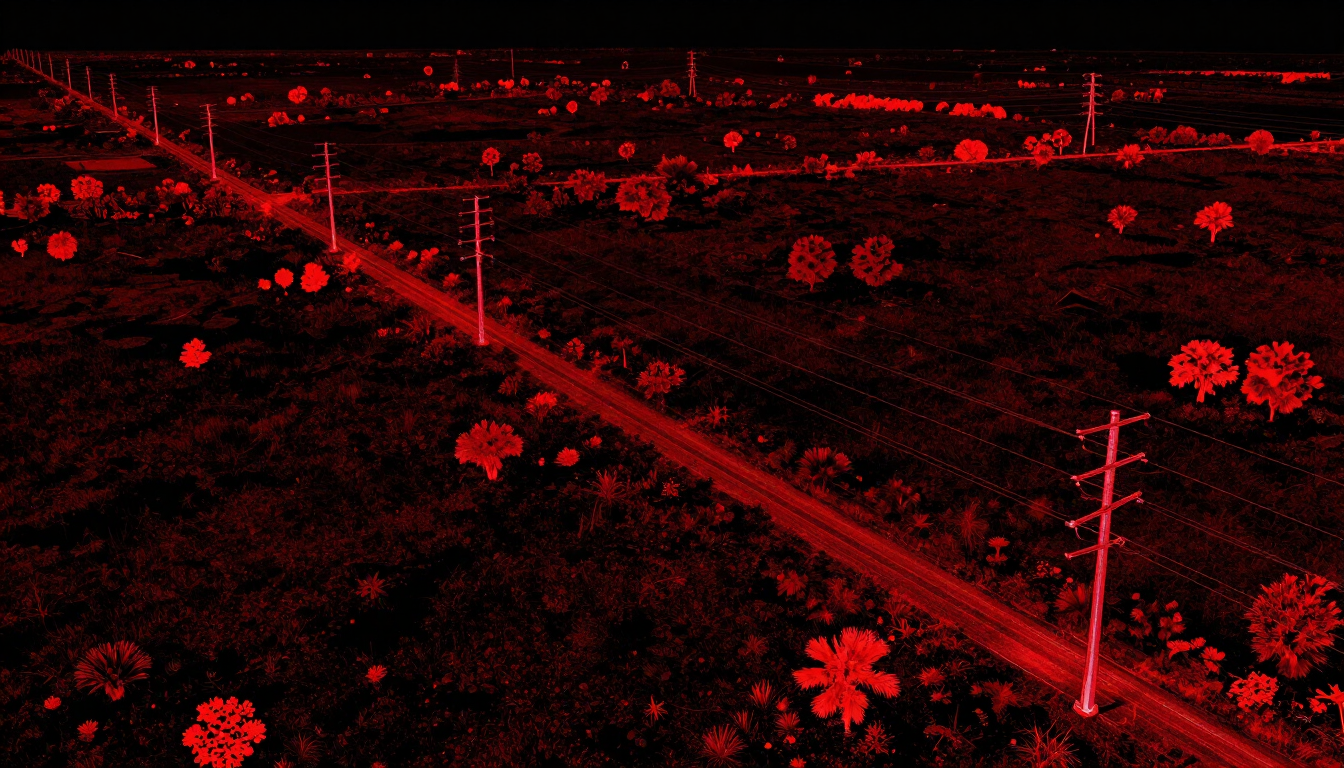
Advanced data collection and professional survey services customized around each site, intended application, accuracy requirement, and client workflow, with signable survey deliverables available for official project submittals.
Features
LiDAR-Based CAD · LandXML Deliverables · PLS-CAD Utility Surveys · Drone-Based Bathymetric Surveys · Professional Surveying Oversight
Which Solution Is Right for You?
Every project has different goals, timelines, and audiences. Use this guide to match your project scenario to the FDC Reality solution designed for it — or contact us if your needs span more than one.
You're managing a multi-phase land development
You need ongoing site documentation, grade verification, quantity tracking, and plan overlays from raw land through completion.
→ Reality Model
You're presenting a project to the public or a board
You need an accessible, interactive presentation that combines photos, video, plans, maps, and narrative in one shareable link.
→ Reality Exhibit
You need to document infrastructure or assets in the field
You need organized drone and camera documentation of lift stations, bridges, towers, or mechanical facilities with condition records.
→ Reality Report
You want an immersive digital twin of a home or building
You need a hyperrealistic, freely navigable digital scan for marketing, remote exploration, renovation planning, or documentation.
→ Reality Scans
You need specialized survey data or technical deliverables
You need LiDAR, CAD, LandXML, utility, terrain, or bathymetric data tailored to your planning, design, infrastructure, or environmental workflow.
→ Reality SURVEY
You're not sure which solution fits
Describe your project and goals and we'll recommend the most effective combination of FDC Reality services.
→ Request a Consultation
How FDC Reality Delivers
Every FDC Reality engagement follows a structured, five-step process — from project definition to ongoing client support — ensuring accurate data, customized deliverables, and reliable results.
1
Define the Project
We discuss your goals, site conditions, timeline, and deliverable requirements so the capture plan is tailored to your project from day one.
2
Capture the Site
Our FAA-licensed pilots and professional surveyors collect LiDAR, aerial imagery, 360° photography, and drone footage with survey-grade control.
3
Process and Verify the Data
Collected data is processed in-house and reviewed by licensed professionals to ensure accuracy, completeness, and quality before delivery.
4
Deliver the Customized Solution
We produce and deliver the final model, exhibit, report, or dataset — formatted to your specifications and ready for immediate use.
5
Support the Client
Our team remains available for updates, follow-on captures, questions, and project support throughout the life of your project.
1
Define the Project
We discuss your goals, site conditions, timeline, and deliverable requirements so the capture plan is tailored to your project from day one.
2
Capture the Site
Our FAA-licensed pilots and professional surveyors collect LiDAR, aerial imagery, 360° photography, and drone footage with survey-grade control.
3
Process and Verify the Data
Collected data is processed in-house and reviewed by licensed professionals to ensure accuracy, completeness, and quality before delivery.
4
Deliver the Customized Solution
We produce and deliver the final model, exhibit, report, or dataset — formatted to your specifications and ready for immediate use.
5
Support the Client
Our team remains available for updates, follow-up captures, questions, and project support throughout the life of your project.
RELATED PROFESSIONAL SERVICES
More Than Reality Capture
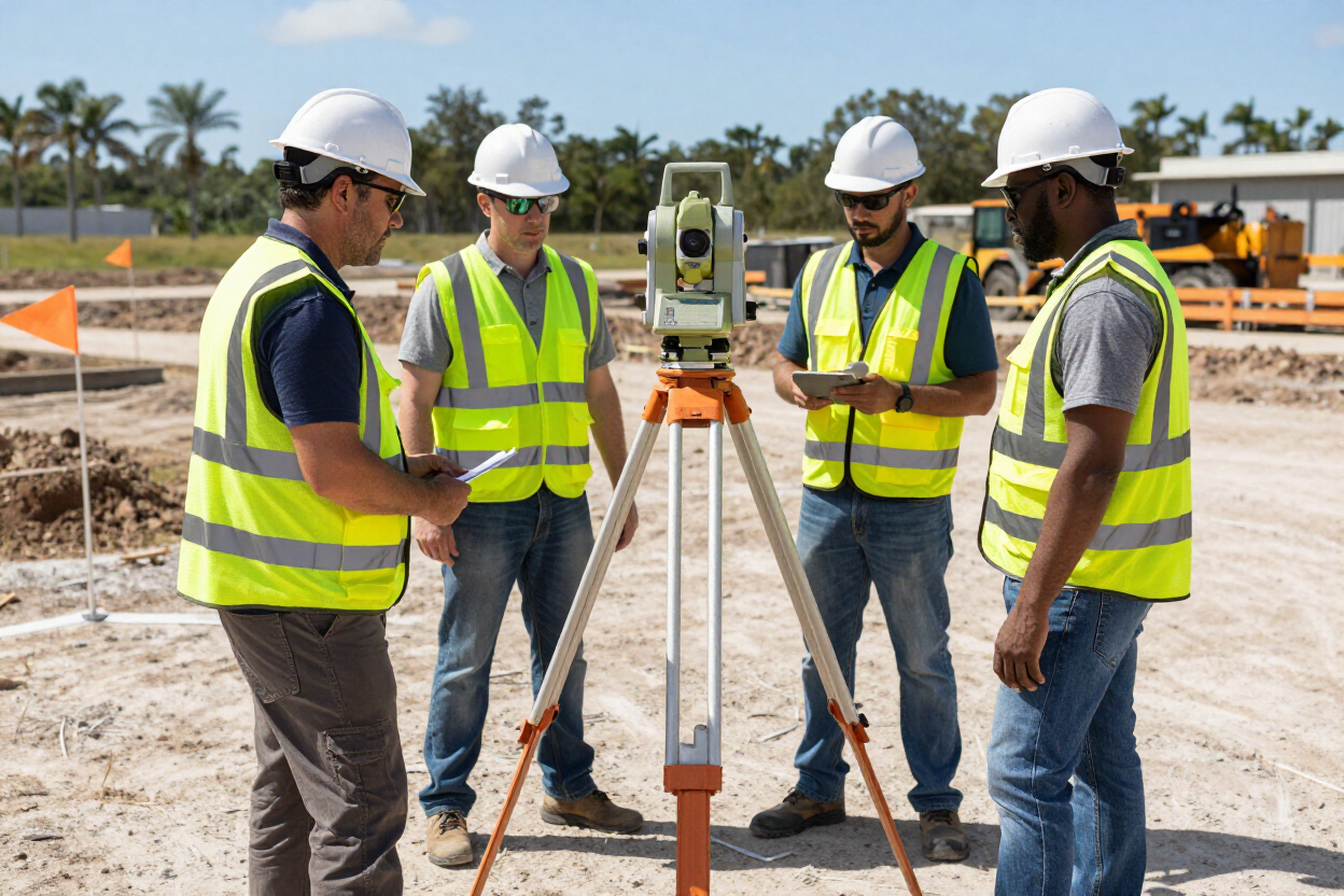
FDC Reality is an extension of Florida Design Consultants, Inc. — a full-service surveying and civil engineering firm with more than 30 years of experience serving Florida developers, builders, utilities, municipalities, and property professionals.
If your project requires traditional boundary surveys, topographic surveys, construction layout, civil engineering design, or other professional services, Florida Design Consultants can assist.
GET STARTED
Ready to Discuss Your Project?
Whether you know exactly which solution you need or want guidance on the best approach for your site, our team is ready to help. Contact FDC Reality to request a consultation.
Serving clients across Florida · FAA-Licensed Pilots · Licensed Surveyors and Engineers